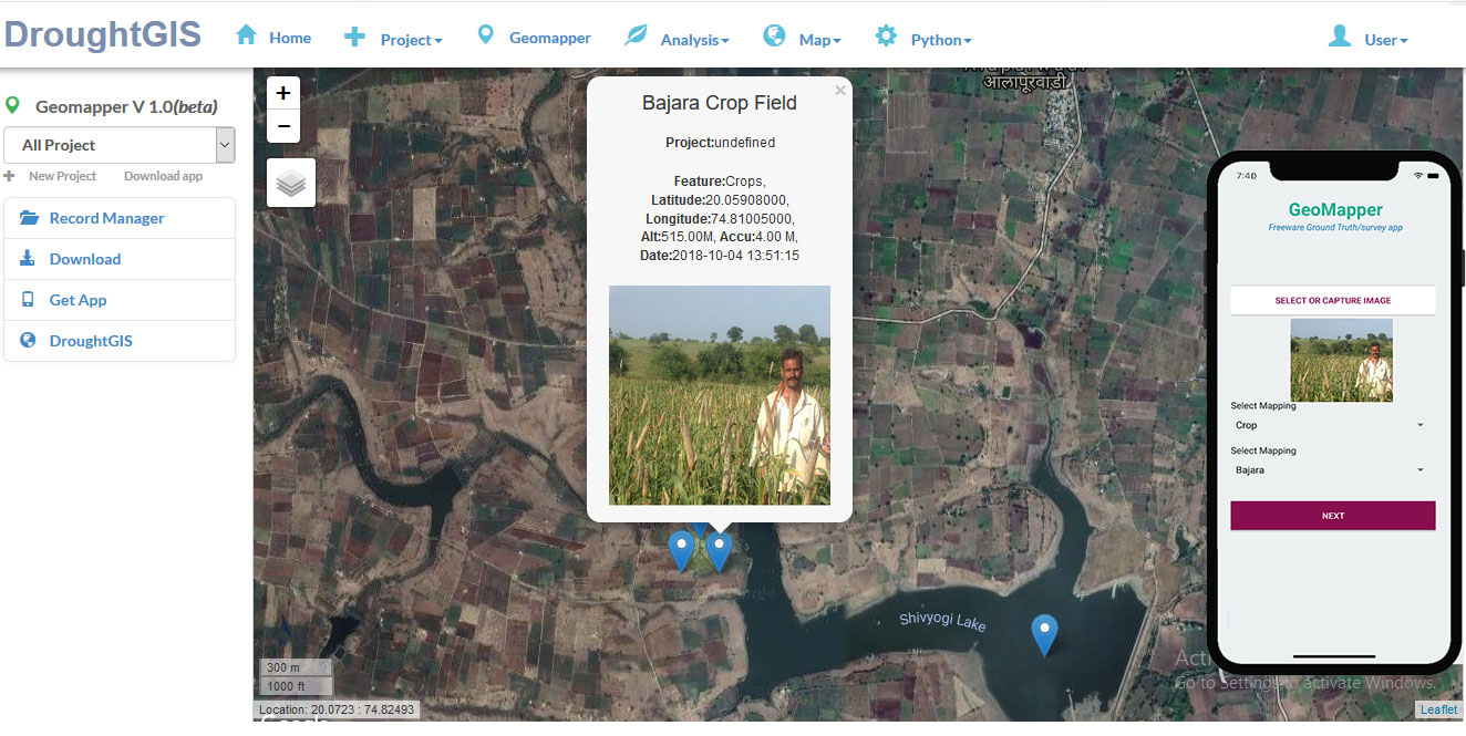

Ground Truth
Ground truth data collection platform for all end users
IoT Dashboard
Integration of IoT, Android and cloud server
Drought
Integration of RS, GIS and Smartphone Technology
We have developed the revolutionary platform for geospatial survey and field compaign
Ground Truth Projects
Create the ground truth project for real time Field campaign
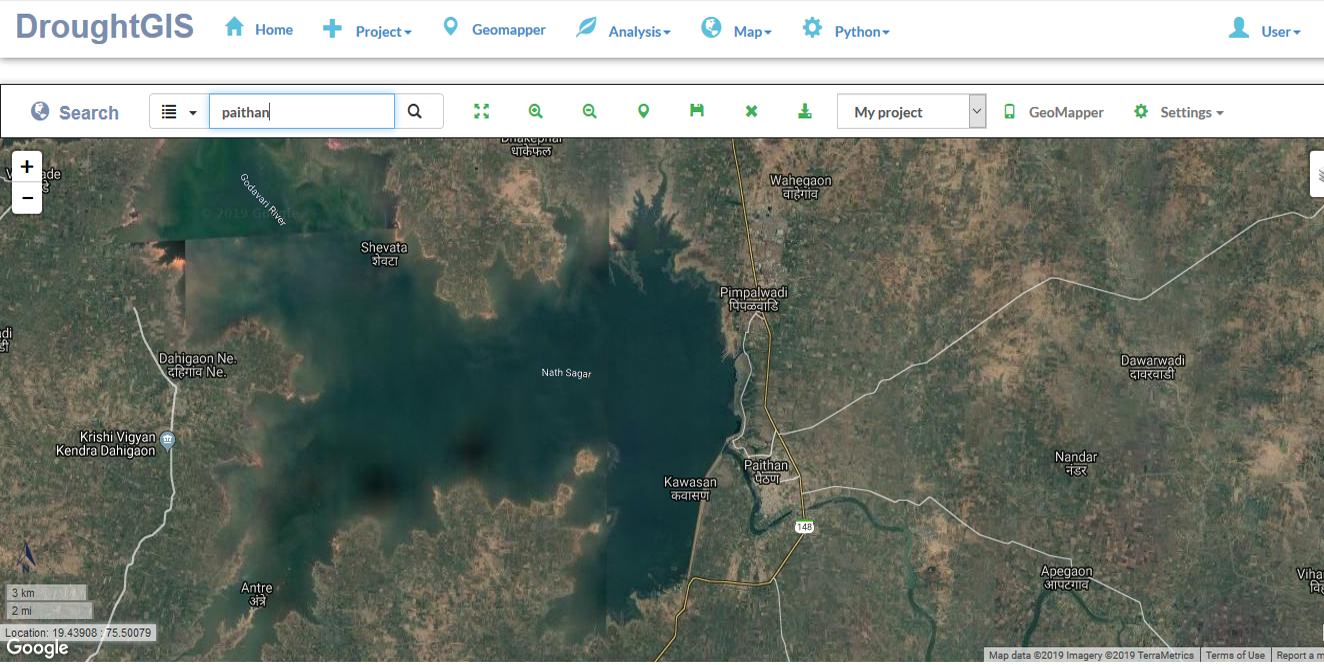
View Map
View ground truth in Map, Export in CSV, PDF, and Excel Format
Online Mapping
Map the spatial object using our online GeoMapper tool. You can drop the pin and export the data

Advance Drought Monitoring System is based
Meteorological Drought
The IoT based devices and Online weather searvers are integrated for the estimation of Meteorological drought
Agricultural Drought
You can add sown area, yield , and farmer information in the system
Map Viewer
Download the map in PDF and AgrGIS Format. The map is available after the authentication of the higher officers.
Drought Monitoring System
Drought Monitoring system based on Geospatial dataset
If you have any suggestion please send us mail to Prof. K.V. Kale, kvkale91@gmail.com +91-900000000.